Around the World in (Almost!) 80 Collections
Using digitized items and their data to take a global journey.
Using digitized items and their data to take a global journey.
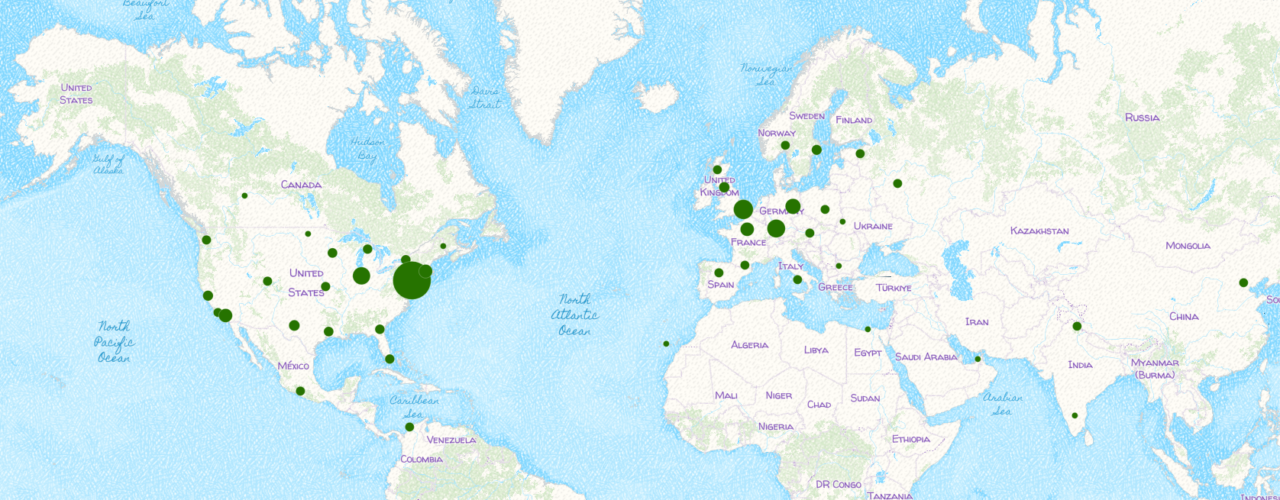
The Science History Institute’s digital collections librarian, Annabel Pinkney, explores the geographic reach of our digitized collections in an ArcGIS StoryMap, a platform that helps librarians, curators, and storytellers harness Geographical Information Systems (or GIS) to analyze and display location data.
Click the map below to join Annabel on a global journey of data, digital collections, and spatial dimensions.
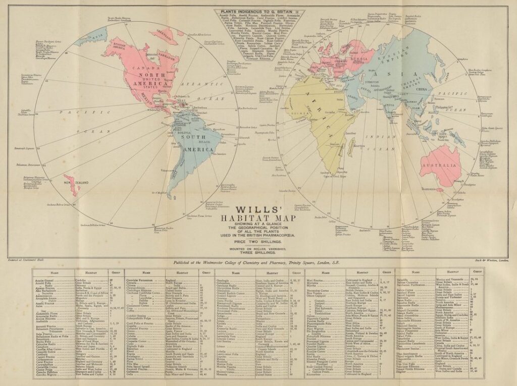
Will’s Habitat Map from A Manual of Vegetable Materia Medica written by George Sampson Valentine Wills, 1886.
Telling rich stories about lives in science.

Rosalind Franklin announces a funeral for a hypothesis.
What Theosophy reveals about a moment when science and the occult were not so neatly opposed.
Copy the above HTML to republish this content. We have formatted the material to follow our guidelines, which include our credit requirements. Please review our full list of guidelines for more information. By republishing this content, you agree to our republication requirements.